GIS (Geographic Information System)/GIS software gives you geographical data in form of maps and other graphical ways. It captures, stores and shows the data in spatial indices forms which makes it easy to identify features located in any arbitrary region of a map. There are many GIS Mapping software available out there, here we have listed some of the best and reliable ones:
Best GIS Software for GIS Mapping
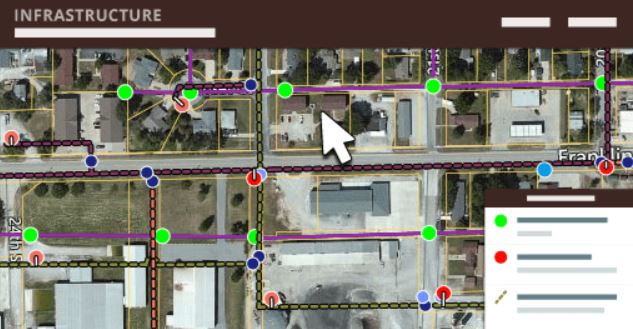
ArcGIS
ArcGIS is a mapping and analysis software, it is a cloud-based mapping platform and lets its users customize maps and see real-time data by visualizing, managing, creating, and analyzing geographic data.
Official Link
QGIS
QGIS is a geographic data visualization, analysis, and editing tool that may be used to view, analyze, and modify geospatial data. This program is available at no cost. Working with this program, the user will be able to manage databases with a variety of features and file types. With QGIS, the user may work with raster data, overlay vector data, and see the data in a number of formats, among other things. It also includes the capabilities of editing, producing, organizing, and exporting vectors, raster layers, and data in a variety of forms on a single platform.
Official Link
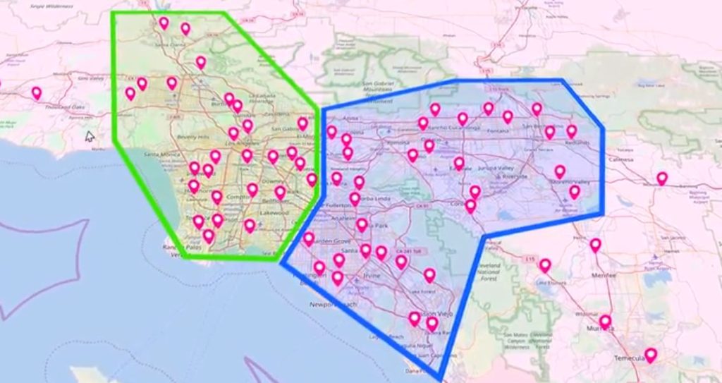
Maptitude
When it comes to finding the exact location of customers, solving geographic queries that impact the business, identifying the highest sales areas, unlocking hidden opportunities, and visualizing geographic trends and patterns that can't be seen in spreadsheets and database tables, Maptitude is the solution to all problems. The program offers the maps, tools, and demographic data that a user needs to scan and understand how geography affects business operations.
Official Link
GRASS GIS
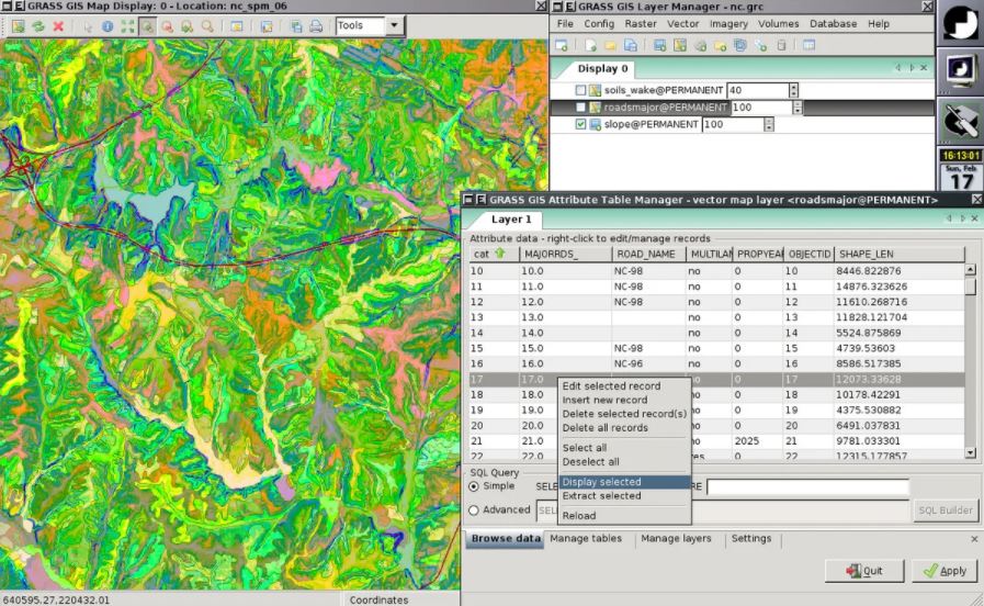
GRASS GIS, also known as Geographic Resources Analysis Support System, is free and open-source software that is based on geographic information system (GIS) technology. It is intended for use in vector and raster geographic data management, spatial modeling, visualization, and geoprocessing applications, among other things. It contains a slew of manipulating choices as well as a range of 3D, vector, and raster formats for doing geographical analysis that is just too complicated for most people. It has the ability to link to spatial databases as well as a slew of third-party libraries. Others include point cloud analysis, LiDAR scanning, interpolation of frames, geocoding, topology corrections and generalization, buffers and overlays, network analysis, aerial image processing, UAV satellite data, and a slew of additional capabilities.
Official Link
MangoMap
Developing online map apps with MangoMap is a simple and rapid process. All that a user needs is a web browser and the data to complete this task. Without compromising on functionality, MangoMap provides simplicity and value. MangoMap provides a plethora of tools and customization options that allow exercising complete control.
Official Link
Mapline
Mapline is the most straightforward mapping solution, providing map visualizations derived from Excel spreadsheet data to help businesses optimize logistics, enhance market planning, and uncover growth prospects in real-time. This platform has developed the most effective solutions to assist in achieving company development, understanding sales regions, achieving better risk mitigation and management, and other tasks, among other things. It attempts to provide the greatest customer service possible to ensure that all of the requirements are addressed as readily and fast as possible.
Official Link
what3words
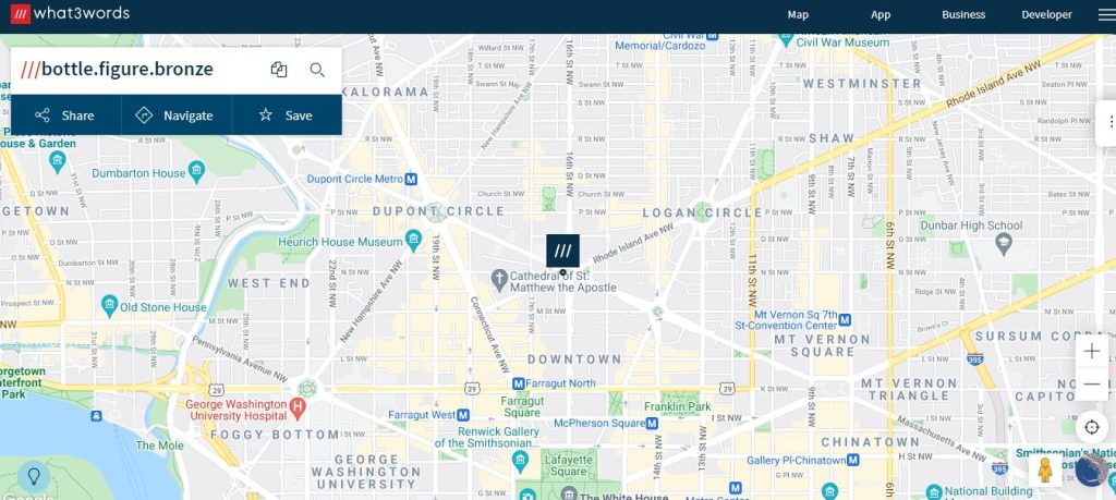
what3words is a program that converts geographic coordinates into three dictionary words. It differs from other alphanumeric location systems and GPS coordinates in that it shows three words rather than large strings of numbers or characters, which makes it easier to understand.
Official Link
uDig
uDig is a geographic information system-based software that is created in Java. uDig enables to solve difficult vector computations using hydrologic tools that are specifically designed for this purpose. Many other file formats, including PostGIS, shapefiles, and WMS, are supported by the software. Its drag-and-drop interface makes it one of the most user-friendly geographic information systems available. It offers a foundation upon which the user may develop extensive analytical skills, with such capabilities being progressively integrated into the core application.
Official Link
PostGIS
PostGIS is a straightforward and open-source spatial database that enables to conduct of location queries in SQL. One of the most notable features is that it is capable of displaying raster data in a variety of standard formats, including NetCDF, GeoTIFF, JPG, and PNG, using SQL queries. Apart from these features, PostGIS provides processing and analytic operations for raster and vector data, including reclassification, splicing, morphing, dicing, and joining/gathering, all made possible by the power of SQL.
Official Link